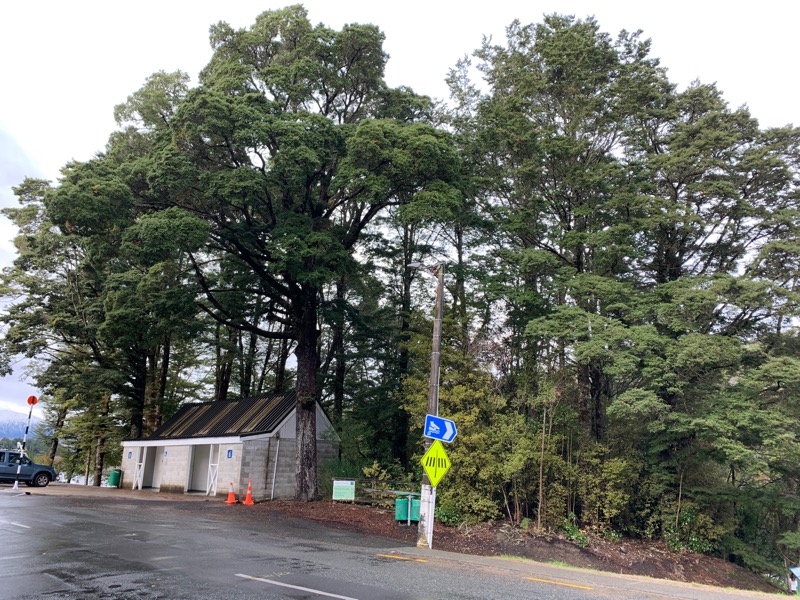
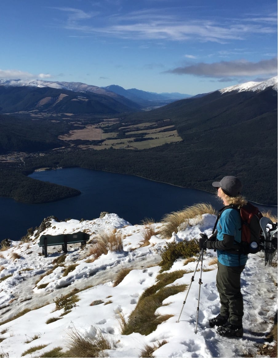
Southland District Council (SDC) was undertaking a review of the Manapouri Foreshore Reserve Management Plan (2003) which provided for height management of vegetation on the reserve. Although some work on vegetation had been carried out, there had been little ongoing height management particularly in the areas identified as “retained/managed bush”. An itemised programme of works was required to:
• enable maintenance of the vegetation in the foreshore reserve to protect view shafts;
• maintain heights in retained/managed areas within acceptable limits; and
• protect trees and vegetation in identified copses and other protected areas.
The project was undertaken by Xyst in two separate stages:
Stage 1 – Vegetation data collection
This involved several visits to Manapouri and collection of data about trees and shrubs located on the reserve using the GIS Cloud Mobile Data Collection App. The data collected included GPS location, species, photos, age class, condition, maintenance actions and priority. Trees were either assessed as individual specimens or as groups as appropriate.
Stage 2 – Maintenance plan
This stage used the data collected in Stage 1 to prepare a report outlining maintenance actions required to achieve the outcomes identified in the Reserve Management Plan and resource consent.


