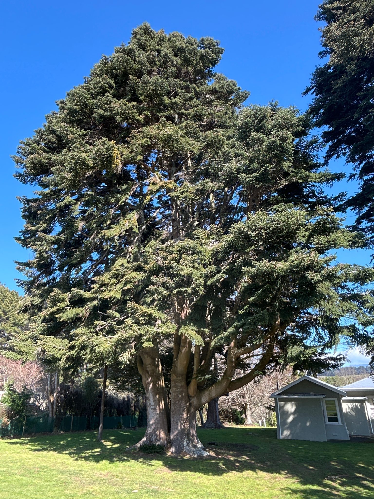
Two Xyst consultants worked for one week across the Tararua district. Site prioritisation was undertaken to ensure trees at key sites were captured, and data was collected on over 1,400 tree assets within streets, parks and cemeteries.
The work utilised a mobile data collection tool along with a customised form, to collect a whole tree photo, GPS location, botanical name, dimensions, condition and recommended works.
Data was provided as a spreadsheet with linked photos, and included a GIS shape file.